Product Overview
VanDam's award winning Philadelphia StreetSmart maps all top attractions including historic sites, hotels, major architecture, dining, and shopping - all at an immensely legible super-scale of 1:8,500, complete with 3-D building illustrations. Clear information design allows users to read the map from three feet away and has earned VanDam maps a place in the MoMA Collection.
Philadelphia StreetSmart includes a stunning dimensional detail of Penn's Landing, Independence Historical National Park, Center City, and University City. Edition also includes a map of Metro Philadelphia and SEPTA Regional Transit.
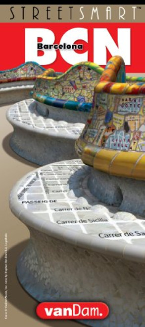
Simplicity reigns supreme in information design to make complex cities clear and understandable. Our typography creates character and reveals the true bones of the city. VanDam uses a letter grid to identify locations on maps - no confusing and cluttering K-28 or V-34s - its just the city from A-Z. Our covers map the icons of each city and turn them into collectible graphic art. Each sleek and laminated city map package opens to 24 x 9 and then easily folds down to 4 x 9 to snuggly fit into a shirt pocket or purse. Gain instant Philly StreetSmarts and a sexy souvenir to boot!


